
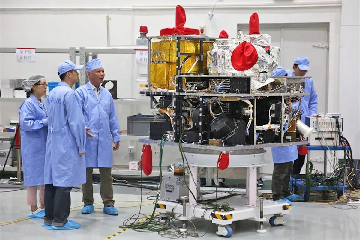
Pakistan has taken a major step in scientific collaboration by joining China’s AI-powered satellite program aimed at monitoring climate change, natural resources, and environmental resilience. The joint project reflects a new dimension of China–Pakistan cooperation that extends beyond trade and infrastructure into advanced technology and space science. In 2025, this partnership places Pakistan among the few developing nations actively contributing to space-based artificial intelligence research.
Expanding the Scope of Bilateral Cooperation
China’s growing space program has become a pillar of its international scientific diplomacy. According to Xinhua, the collaboration with Pakistan includes deploying AI-integrated observation satellites capable of processing data in real time. These satellites monitor deforestation, glacial melt, and agricultural productivity across South and Central Asia. For Pakistan, this project provides critical data to manage climate risks and optimize water resources in the Indus Basin.
The joint initiative follows Pakistan’s success with earlier satellite missions such as PRSS-1 and PakTES-1A, both launched with Chinese technical assistance. The new AI-enabled program represents the next phase of cooperation, combining space hardware with machine learning analytics to support environmental governance and disaster preparedness.
Technology and Research Collaboration
At the core of this partnership are joint research labs connecting Chinese and Pakistani universities. Scientists from SUPARCO (Pakistan Space & Upper Atmosphere Research Commission) are working alongside researchers from the Chinese Academy of Sciences to design algorithms for atmospheric modeling and climate prediction. According to CGTN, these labs are also developing AI sensors for onboard image recognition, reducing the need to transmit raw data to ground stations.
This capability drastically improves data processing efficiency. Instead of waiting hours or days for environmental updates, decision-makers in both countries can receive near-instant insights about drought risks, crop health, or flood-prone areas. The innovation is transforming how regional governments respond to climate emergencies.
Climate Monitoring and Sustainable Development
The collaboration directly supports Pakistan’s National Climate Adaptation Strategy, which identifies early-warning systems and precision agriculture as national priorities. Dawn reports that satellite data is already being used to assess soil fertility and forest degradation in northern Pakistan. The ability to analyze and visualize environmental changes in real time is allowing the government to plan reforestation and irrigation projects more effectively.
China, for its part, benefits by expanding the geographic scope of its Earth observation network across the Belt and Road countries. Shared environmental data enhances collective responses to climate disasters, from heatwaves in Central Asia to monsoon flooding in South Asia. The program represents a model of how AI and space technology can advance sustainable development in the Global South.
Capacity Building and Scientific Training
One of the most significant outcomes of the AI satellite program is the training of young scientists and engineers. Dozens of Pakistani researchers are currently enrolled in Chinese universities through specialized scholarships in space technology, climate analytics, and AI systems design. These programs aim to create a new generation of experts who can manage and expand Pakistan’s own satellite capabilities in the coming decade.
In Islamabad, SUPARCO’s upgraded National Space Research Center is being equipped with Chinese software systems for data simulation and analysis. This investment ensures that local institutions can independently process and interpret satellite data rather than relying solely on external support.
Strategic and Regional Implications
Beyond science, the program has important geopolitical implications. The Diplomat notes that China’s growing network of AI-enabled satellites across Asia enhances regional transparency in climate governance, resource tracking, and natural disaster coordination. By including Pakistan as a partner, China is reinforcing its role as a technology provider and development ally for South Asia.
This cooperation complements the broader Belt and Road Initiative by embedding digital and scientific collaboration into its framework. It also strengthens Pakistan’s regional standing as a technology-driven partner, capable of contributing knowledge and innovation rather than only infrastructure participation.
Conclusion
Pakistan’s participation in China’s AI satellite program marks a transformative step in bilateral relations and regional science. By combining artificial intelligence, climate monitoring, and space research, both nations are building tools that can predict and mitigate environmental risks. The initiative underscores how technology partnerships can drive sustainable growth, regional cooperation, and global innovation. As these satellites orbit above Asia, they symbolize a shared commitment to a smarter, greener, and more resilient future.

